Professional Utility Locating & Mapping Services in Oregon
Accurate underground utility locating, GPR scanning, concrete scanning, utility marking, and GPS/GIS mapping to help contractors, property owners, and construction teams plan safer and more efficient projects across Oregon.
ABOUT US
Reliable
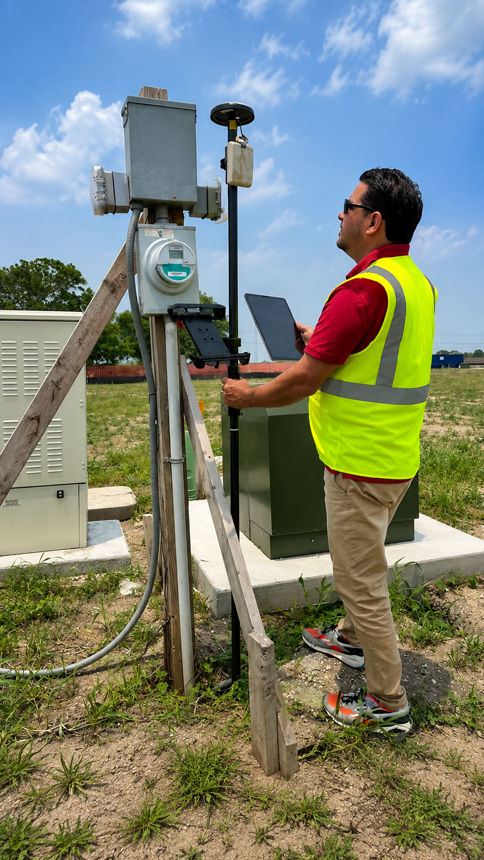
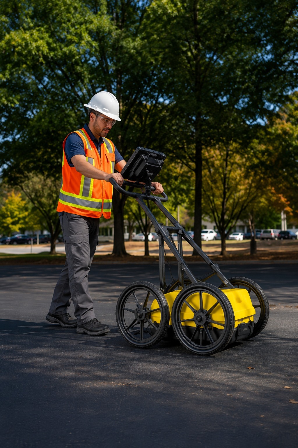
At Utility Locating & Mapping Oregon, we provide professional underground utility locating and mapping services for contractors, property owners, engineers, developers, and construction teams across Oregon. Using advanced locating technology, we help identify subsurface utilities before excavation, drilling, trenching, and other construction activities.
Our services include Private Utility Locating, Utility Line Identification & Marking, GPR Scanning, Concrete Scanning, Underground Utility Detection & Mapping, and GPS & GIS Utility Mapping. We help clients reduce excavation risks, avoid utility damage, improve site awareness, and plan projects more efficiently with reliable underground information.
We proudly serve Portland, Salem, Eugene, Bend, Hillsboro, Beaverton, Medford, Gresham, and surrounding Oregon communities. Whether you are preparing for a small excavation or a larger construction project, our focus is on accurate locating, detailed mapping, dependable results, and professional service from start to finish.
Our Services
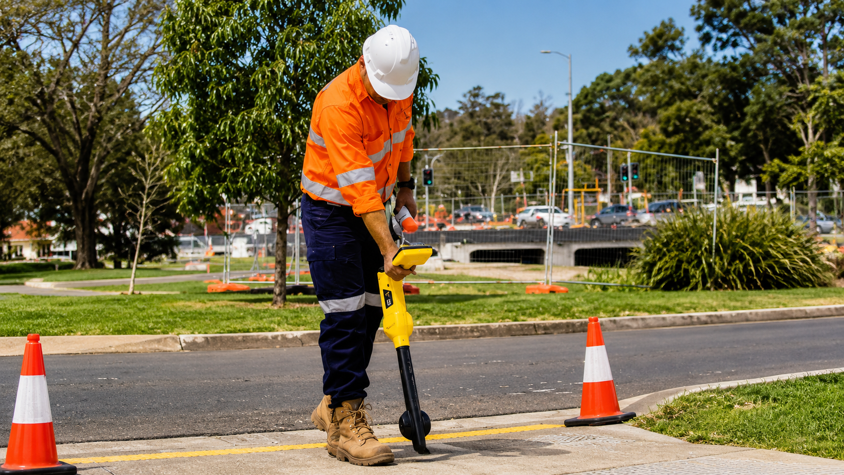
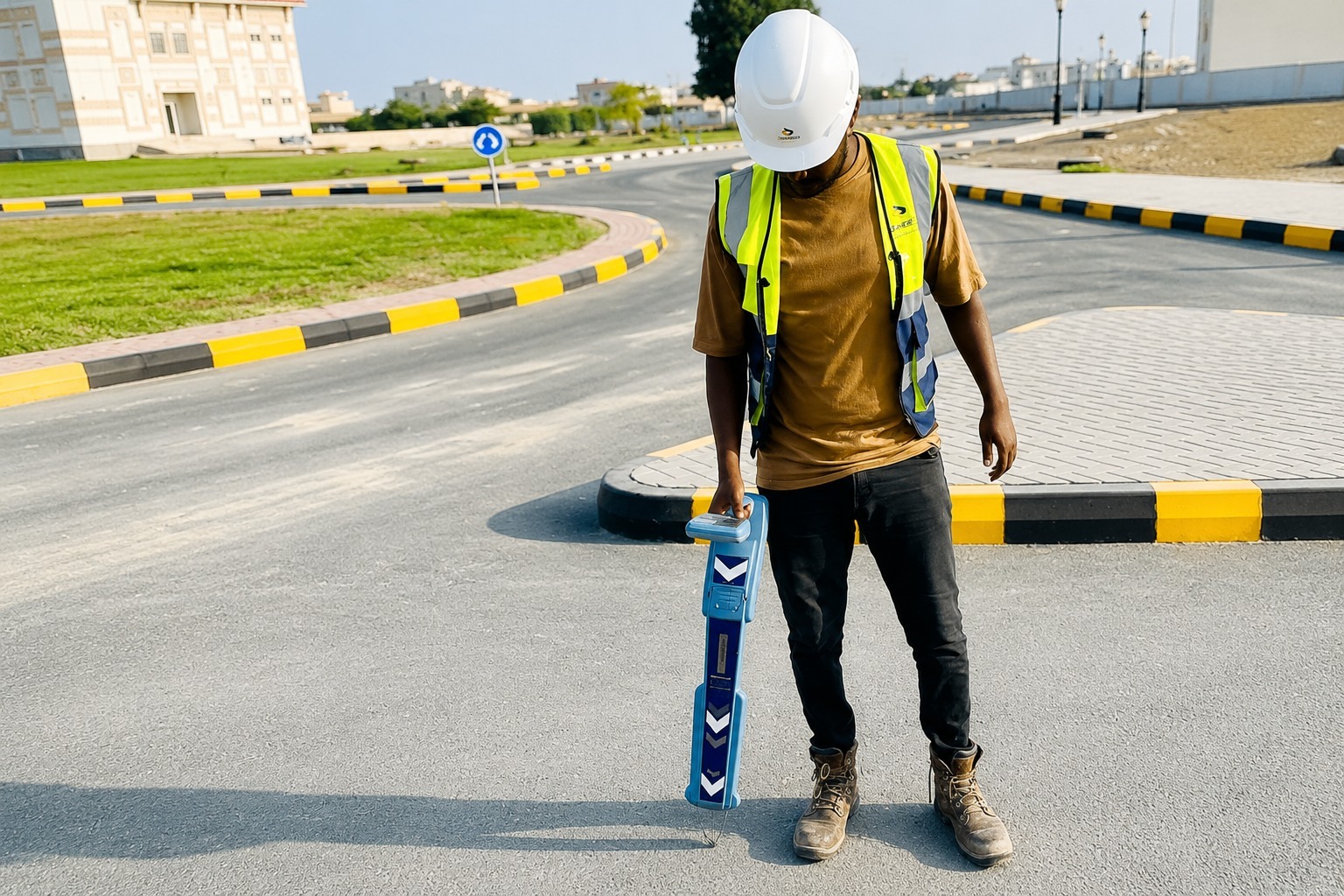
Identify privately owned underground utilities with advanced locating equipment. We help property owners and contractors locate hidden lines before excavation, construction, or landscaping projects.
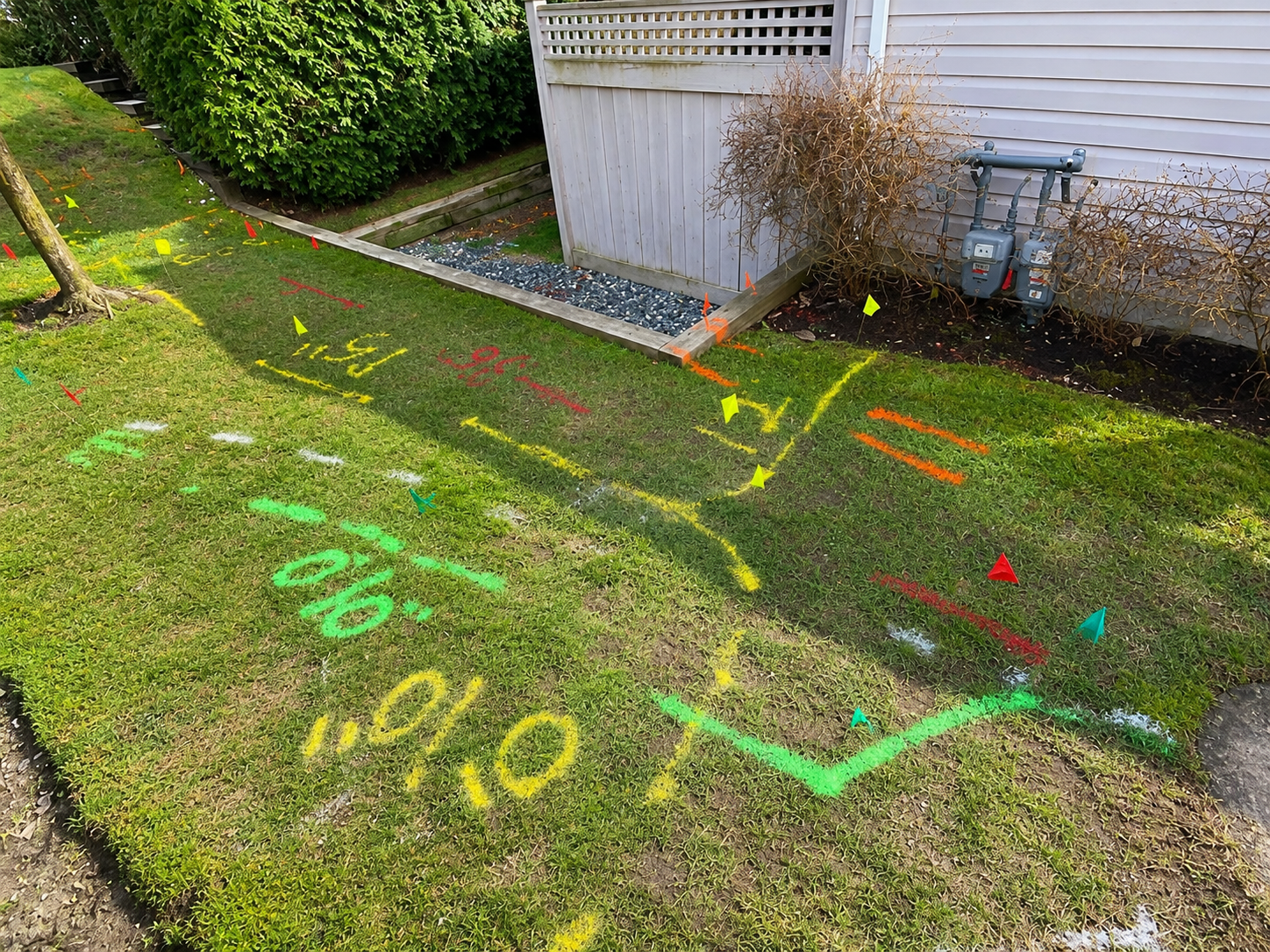
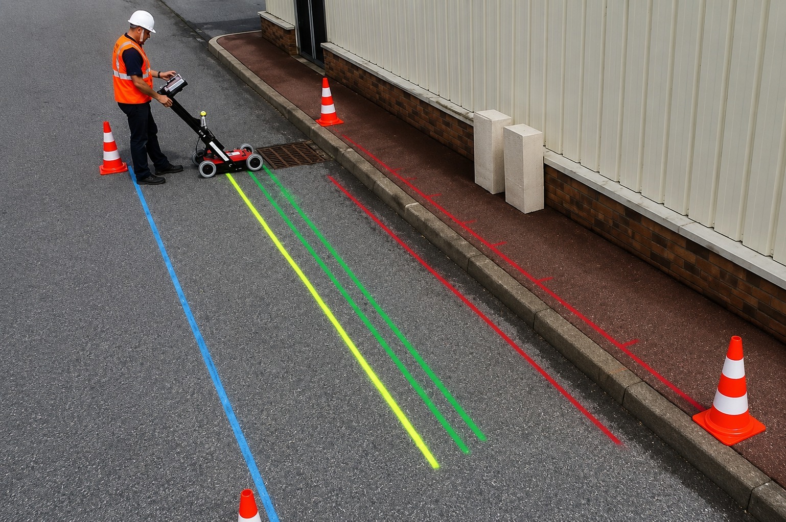
Accurately locate and mark underground utility lines before digging. Our service helps crews understand utility routes and reduce the risk of costly damage during excavation and construction.
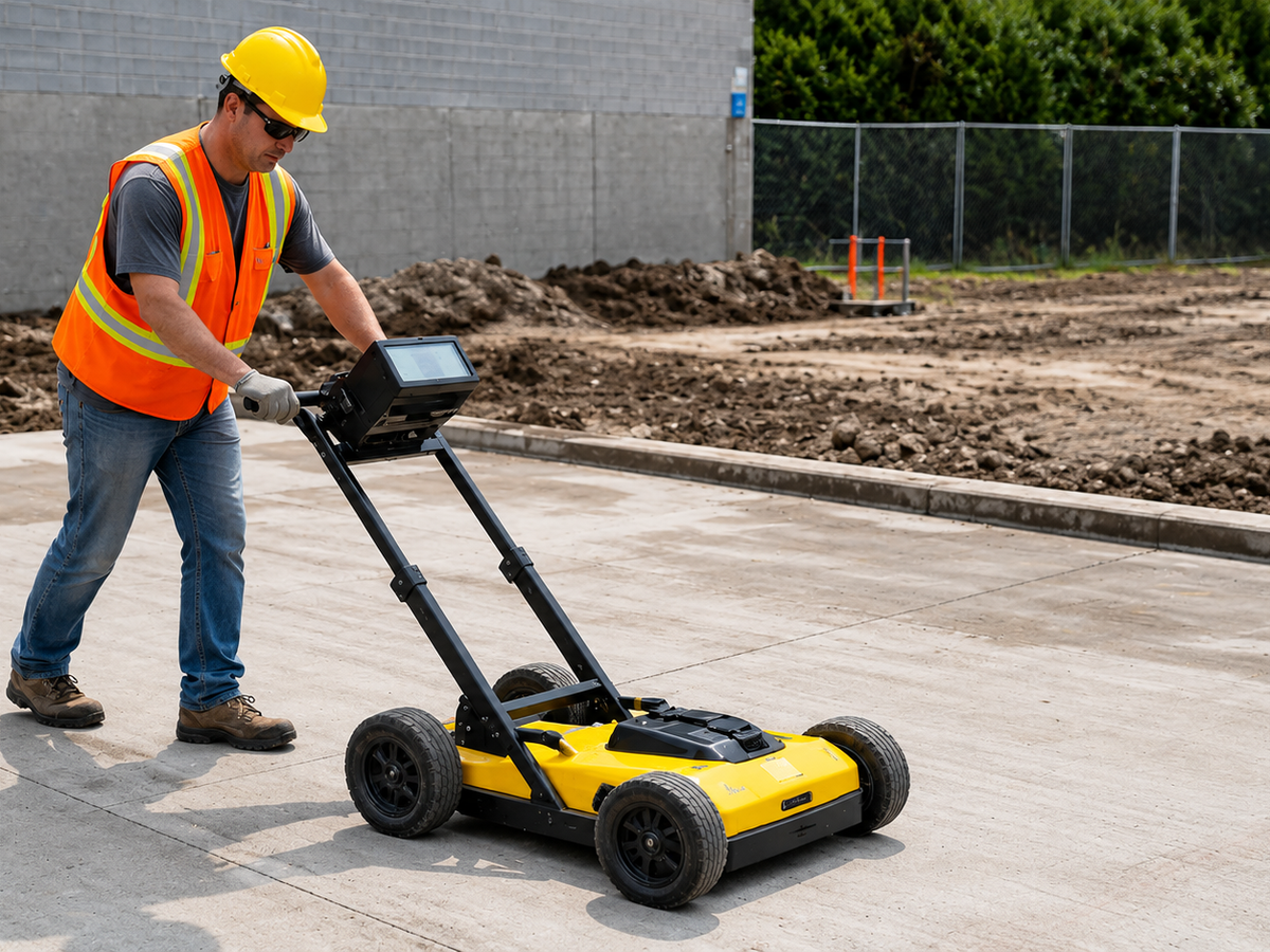
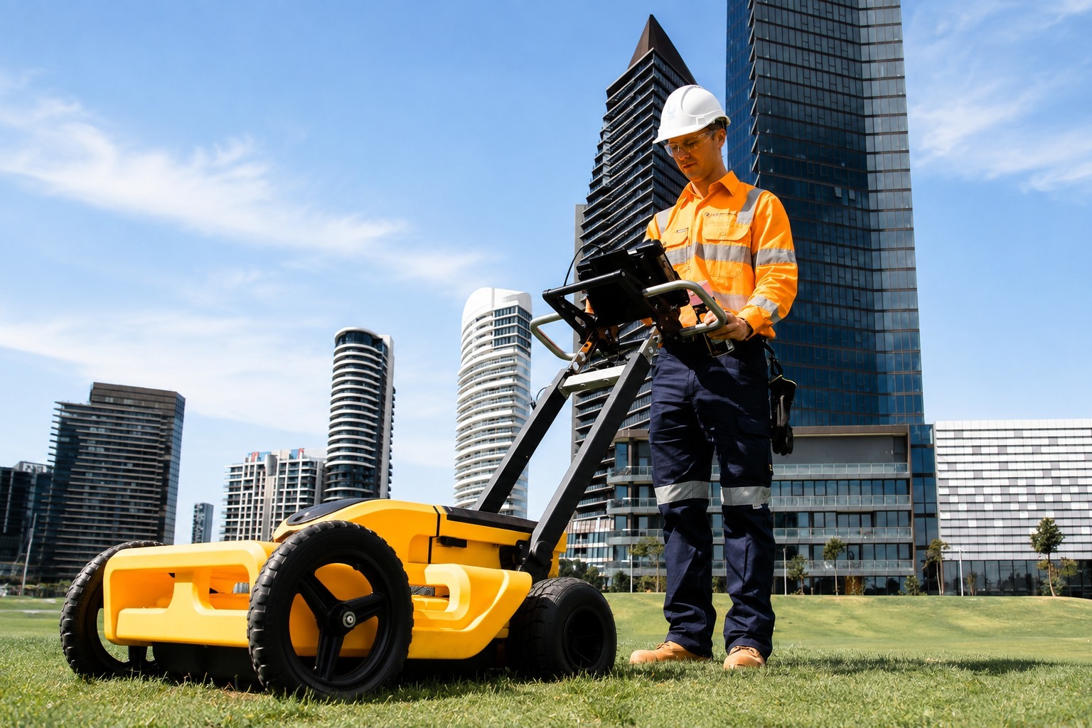
Use advanced GPR technology to detect subsurface utilities, structures, voids, and other anomalies. Non-invasive scanning provides valuable underground information without unnecessary excavation.
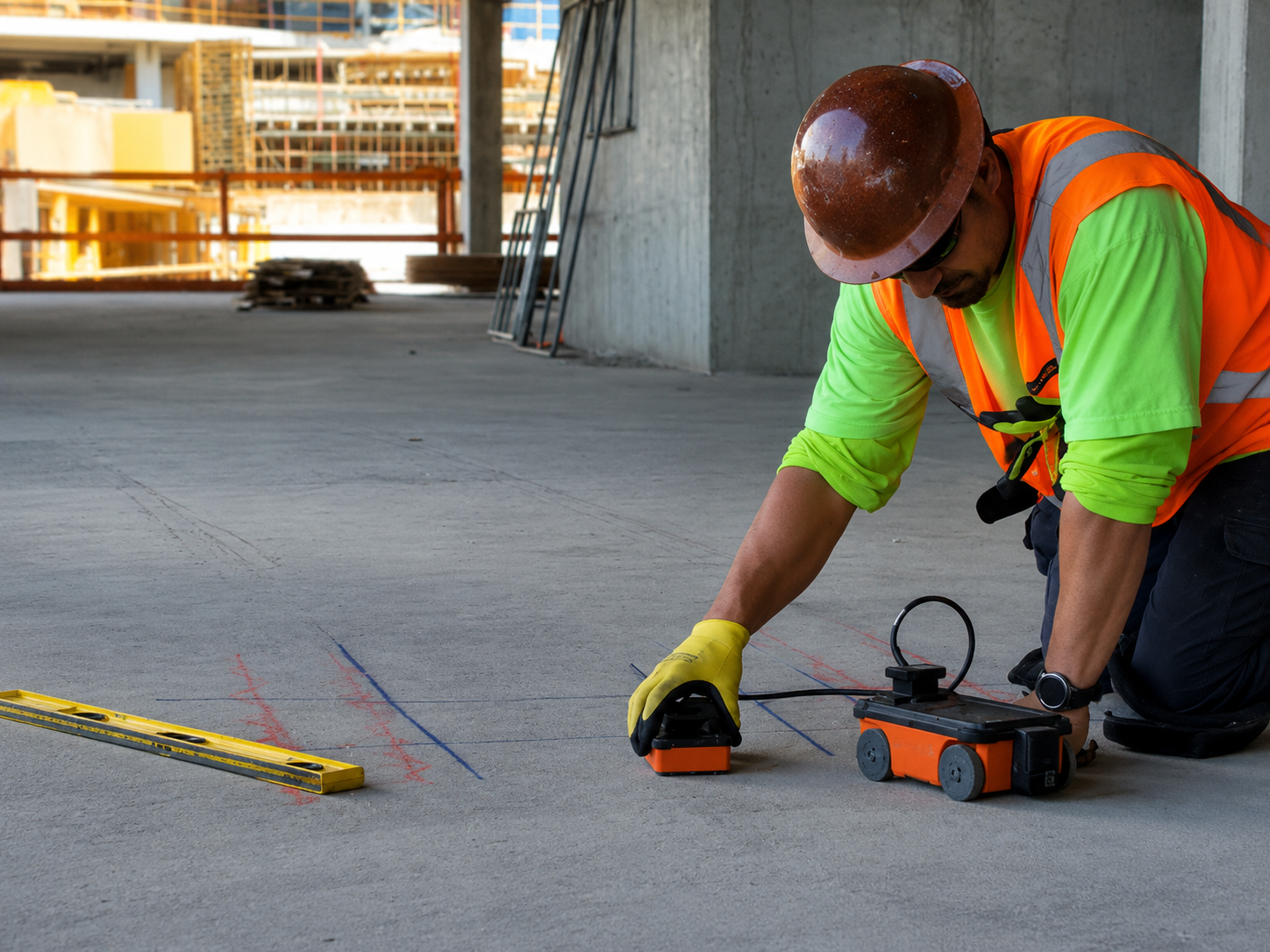
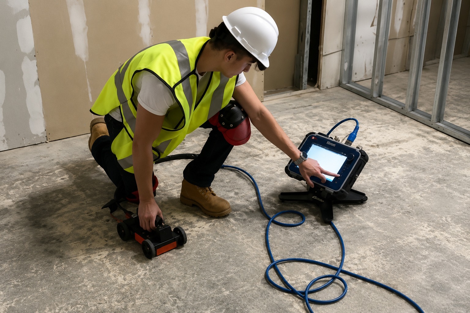
Scan concrete before drilling, cutting, or coring to identify rebar, conduits, post-tension cables, and other embedded objects. Improve project safety and avoid costly damage to hidden infrastructure.
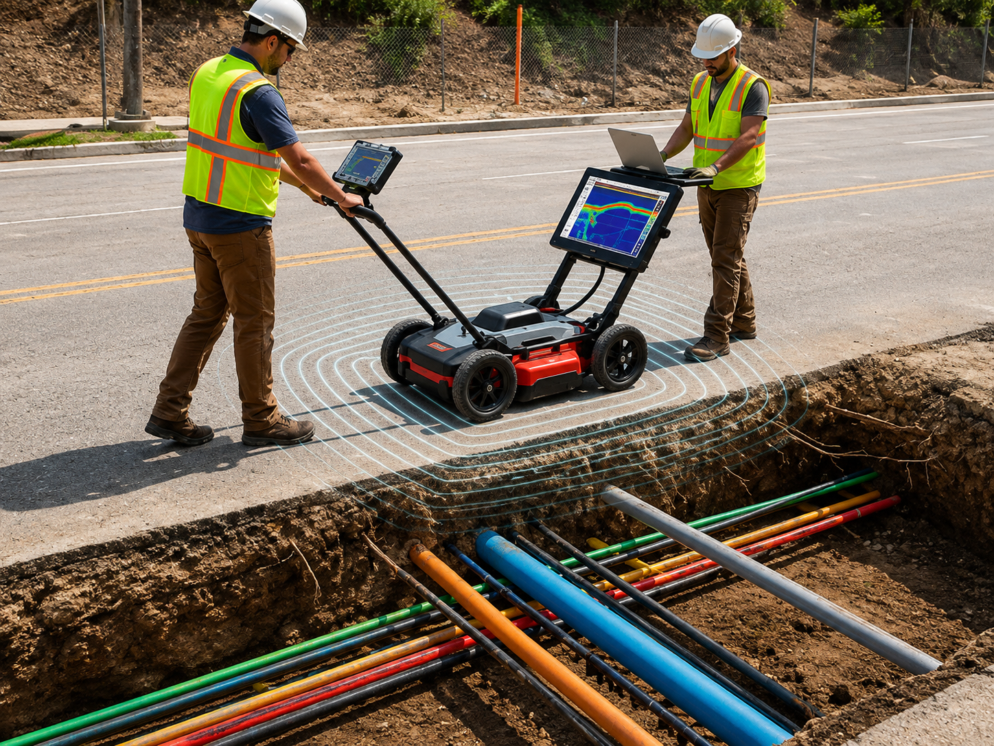
Detect and document underground utility infrastructure using professional locating technology. Detailed information helps contractors plan excavation, construction, and site development with greater confidence.
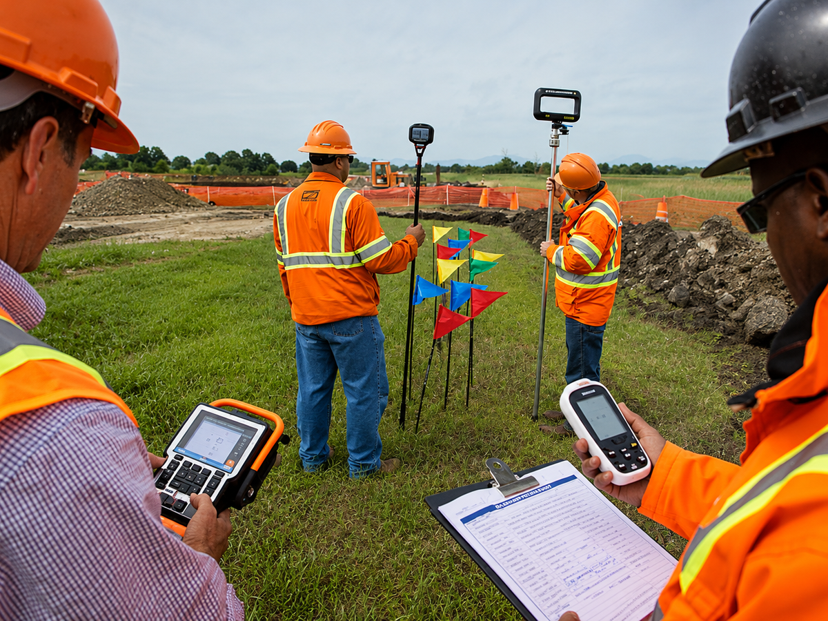
Create accurate digital maps of underground and above-ground utilities using GPS and GIS technology. Organized utility data supports project planning, documentation, asset management, and future maintenance.
The Process
Our Simple 3 Step Process

Contact Us
Start by completing the 'Get a Free Quote' form on our website to share your needs with us so we can take care of you.

Schedule Your Estimate
Next, we'll arrange a property visit at a time that works for you to provide an in-person estimate for your needs.

Get The Job Done
After you approve our estimate, we'll schedule a date to complete the job. Our team will work hard to exceed your expectations!
photo gallery
See Why Our Customers Love Us
Our Service Area?
Portland
Salem
Eugene
Gresham
Hillsboro
Bend
Beaverton
Medford
Springfield
Corvallis
Albany
Tigard
Lake Oswego
Keizer
Grants Pass
Oregon City
McMinnville
Redmond
Tualatin
West Linn
Wilsonville
Forest Grove
Woodburn
Newberg
Happy Valley
Roseburg
Klamath Falls
Ashland
Milwaukie
Sherwood
Hermiston
Central Point
Lebanon
Canby
Dallas
Pendleton
Troutdale
The Dalles
Coos Bay
St. Helens
La Grande
Cornelius
Sandy
Gladstone
Ontario
Monmouth
Prineville
Cottage Grove
Silverton
Fairview
Newport
North Bend
Astoria
Molalla
Baker City
Independence
Sweet Home
Lincoln City
Eagle Point
Florence
Our Reviews
What Our Customers Have to Say About Us!
Very professional and thorough service. They located several underground utilities on our property and clearly marked everything before our excavation work. The team was knowledgeable, responsive, and easy to work with.

We needed utility locating and GPR scanning before starting a construction project. The technician arrived on time, explained the process clearly, and provided accurate results. Excellent communication and professional service.
Great experience from start to finish. They helped us identify underground utility lines and provided detailed mapping that made our project much easier. Fast, reliable, and professional team.
FREQUENTLY ASKED QUESTIONS
What Is Private Utility Locating?
Private utility locating identifies underground utility lines that may not be covered by standard public utility marking services. It helps property owners and contractors understand what is beneath the surface before excavation or construction.
When Is Utility Line Marking Necessary?
Utility line marking is recommended before excavation, trenching, landscaping, drilling, or construction. Clearly marked utility paths help crews avoid accidental damage and work more safely.
What Is GPR Scanning?
Ground Penetrating Radar (GPR) scanning uses electromagnetic signals to detect subsurface features and anomalies. It can help identify buried utilities, structures, voids, and other objects without excavation.
When Is Concrete Scanning Necessary?
Concrete scanning is useful before drilling, cutting, coring, or modifying concrete slabs and structures. It can help locate embedded rebar, conduits, post-tension cables, and other objects.
What Is GPS & GIS Utility Mapping?
GPS & GIS utility mapping records the location of underground and above-ground infrastructure and converts the information into organized digital maps. This helps with planning, documentation, and future maintenance.
Request A Free Quote
BUSINESS
SERVICES
SERVICE AREAS
OPERATING HOURS
Sun: Closed
Mon: 7:00am - 7:00pm
Tue: 7:00am - 7:00pm
Wed: 7:00am - 7:00pm
Thu: 7:00am - 7:00pm
Fri: 7:00am - 7:00pm
Sat: 7:00am - 7:00pm